Government &
Infrastructure
Environmental measurement for public assets, infrastructure corridors and distributed monitoring programmes.
Public infrastructure operates under changing conditions.
Wind, rainfall, heat and local atmospheric conditions influence the context in which public assets are planned, operated and maintained.
The requirement determines which place matters.
The asset is fixed.
Its environment is not.
- Site-specific conditions
- Observe the exposure around the asset, beyond the nearest regional weather report.
- Operational continuity
- Consider power, communications and service access alongside the measurements.
- Geographic coverage
- Choose locations that reflect the corridor, public asset or programme objective.
- Records & accountability
- Keep time references, configuration and maintenance context with the observation.
Different infrastructure.
Different measurement priorities.
Start with the environment. Define the observation that will make its conditions understandable.
Roads, Bridges &
Transport Corridors
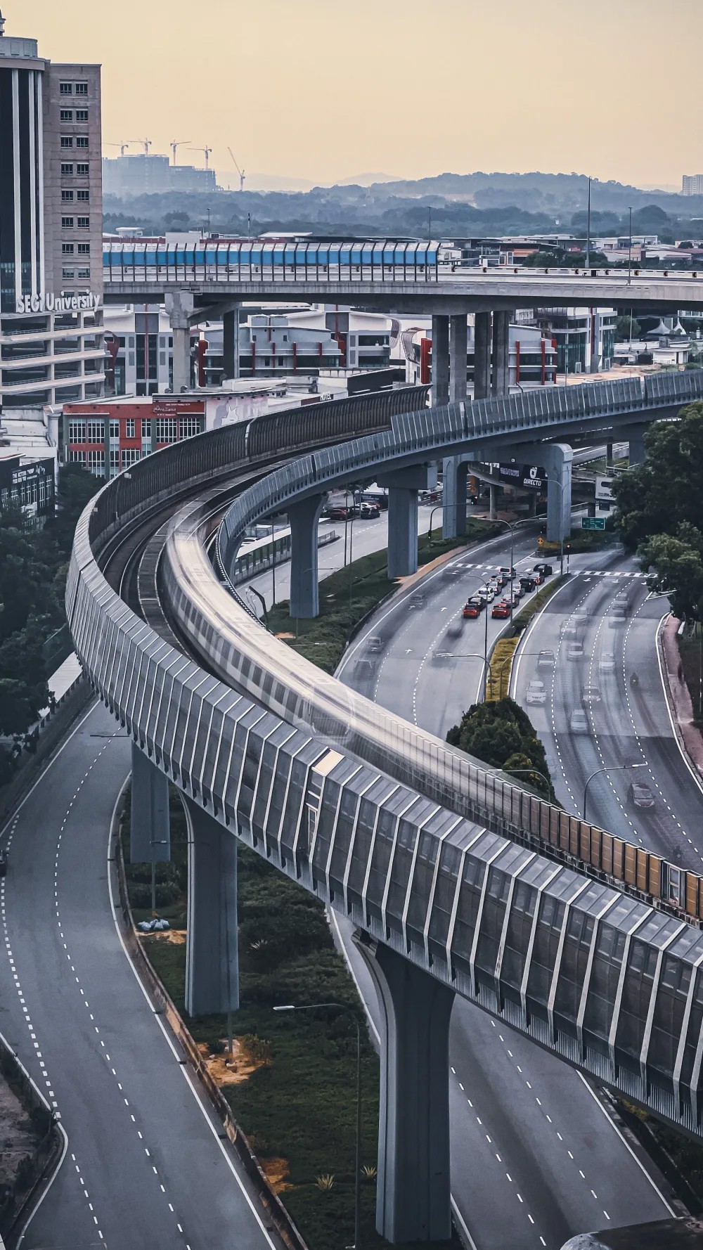
Exposed crossings and sensitive locations may need their own observations. Specify the wind, rainfall and atmospheric record relevant to the asset.
- Wind
- Speed, direction & relevant gust observations
- Weather
- Rainfall & local atmospheric conditions
Municipal &
Urban Infrastructure
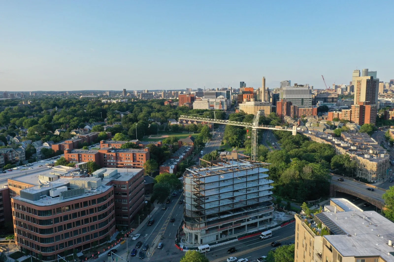
Build a local view of rainfall, ambient conditions and urban microclimates. Related air-quality requirements need their own parameters and measurement methods.
Temperature · humidity · rainfall · ambient conditions
Public Works &
Construction Environments
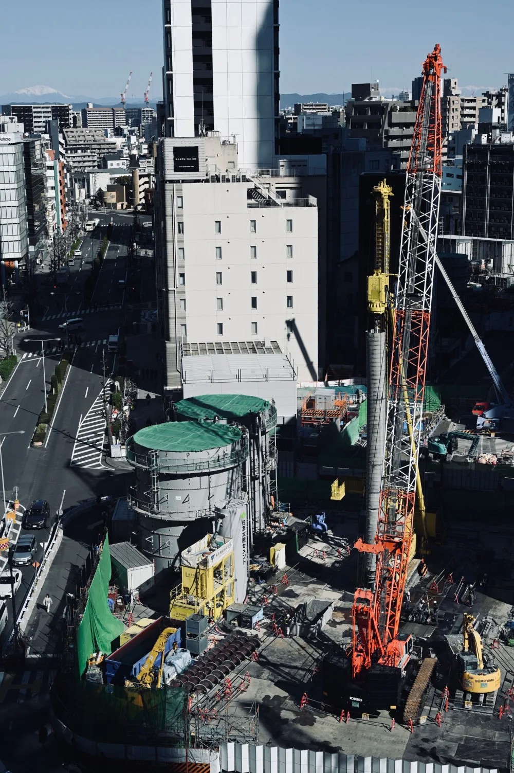
Site wind, precipitation and thermal conditions provide context for field activity. Match the observations and recording periods to the project's objective.
Wind · precipitation · temperature & humidity
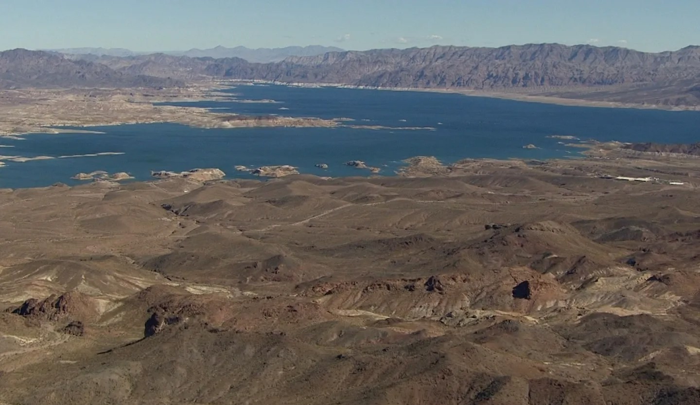
Remote & Exposed
Public Assets
Distance changes the engineering brief. Environmental protection, power autonomy, communications and maintenance access belong in the same conversation.
Power · communications · access · data continuity
District & State
Monitoring Networks
Multiple locations need consistent configurations and understandable differences between sites. Define time references, availability and responsibility for the record.
Different sites. A consistent observation framework.
Photographs show application environments, not RTPL installations. Photography credits.
Start with the decision.
Specify the measurement.
Connect the operational question with the parameter, exposure and recording method.
Scroll horizontally to compare all four columns.
| Operational requirement | Environmental parameter | Measurement consideration | Relevant instrument class |
|---|---|---|---|
| Exposed road or bridge | Wind speed & direction m/s · ° · relevant gust observations | Exposure, orientation and the sampling and averaging needed for the record. | Gill WindSonic / WindObserver |
| Municipal weather observation | Temperature · humidity · pressure °C · % RH · hPa | Local representativeness and sensor exposure; specify rainfall separately. | Gill MetConnect THP or an appropriate MaxiMet configuration |
| Rainfall monitoring | Intensity & accumulation mm/h · mm | Method, siting, recording interval and maintenance requirements. | Gill TruMet PW100 |
| Construction environment | Wind · rain · ambient thermal conditions | Match measurements and observation periods to the site's defined objective. | Project-selected wind, weather and precipitation instruments |
| Remote observation programme | Specified measurements & system status | Local recording, time references, power reserve and communication availability. | Project-selected instruments and compatible data acquisition |
Instrument selection and compatibility require engineering review. Observations do not, by themselves, define safety thresholds or operational actions.
One station is a measurement point. A network is an operational responsibility.
Keep the observation, its context and its ownership connected as information moves beyond the field.
- 01Field instruments
Measurements selected for each location.
- 02Data acquisition
Site instruments connect to the specified inputs.
- 03Time-referenced recording
Keep observations, timestamps and system context.
- 04Communications
Move records over a project-defined link.
- 05Data review
Review availability, gaps and suspect records.
- 06Responsible organisation
Agree ownership, access and the next action.
Road corridor: Define exposure, wind averaging and the locations the observation must represent.
What is recorded?Measurements, time and configuration.
What needs review?Availability, gaps and changes at the site.
Who is responsible?The organisation and roles agreed in the brief.
A reliable record begins with a defensible installation.
Sensor performance, site conditions and practical access belong in the same engineering discussion.
Final equipment, siting and support design are project-specific.
- 01
Sensor siting
Define the area represented and record nearby obstructions.
- 02
Mounting
Resolve the support, orientation and mechanical installation.
- 03
Enclosure & protection
Consider exposure, cable entries and equipment protection.
- 04
Power supply
Establish the load, available supply and battery reserve.
- 05
Acquisition & communications
Confirm interfaces, recording needs and the available link.
- 06
Maintenance access
Agree how the equipment is reached, inspected and serviced.
A clearer path from technical requirements to field delivery.
A shared brief makes the measurement objective, project scope and operating responsibilities explicit.
- 01
Define
Understand the objective, locations, parameters and required record.
A clear observation brief - 02
Specify
Review instrument classes, constraints, interfaces and acquisition needs.
A measurement specification - 03
Engineer
Develop the architecture and clarify supply and service boundaries.
A project-specific scope - 04
Deploy & Verify
Agree installation, configuration and functional verification activities.
A reviewed field system - 05
Handover & Support
Confirm documentation, training, service and maintenance arrangements.
Defined operating responsibilities
Delivery, verification and support arrangements are agreed for the individual project.
The right instruments begin with the right requirement.
Explore the relevant solution, then discuss the instruments and configuration your site needs.
Automatic Weather Stations
Site-focused weather observation systems.
Meteorological Sensors
Explore atmospheric measurement instrumentation.
Air Quality Monitoring
Define the pollutants, method and site objective.
Hydrological Monitoring
A related pathway for water observation requirements.
Instruments for the measurement brief.
Selected RTPL-listed Gill instruments. Final suitability and interfaces require review.
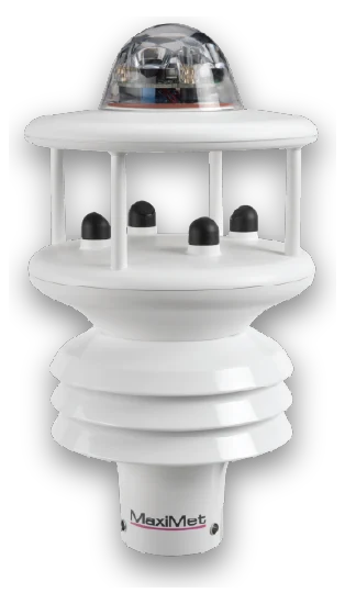
MaxiMet GMX600
Wind, temperature, humidity, pressure and optical rainfall indication.
View instrument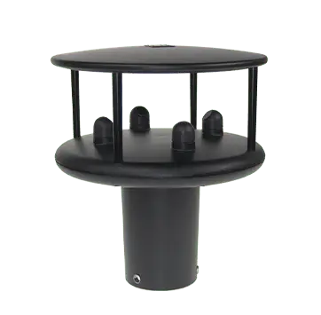
WindSonic
Ultrasonic wind speed and direction. Model and interface selected for the site.
View instrument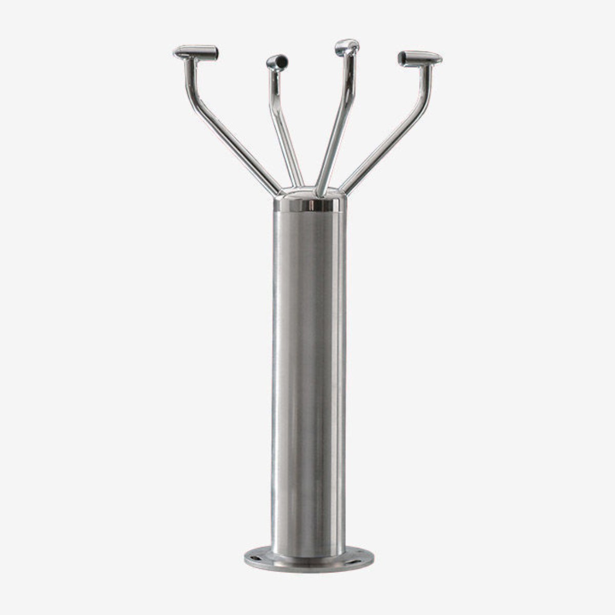
WindObserver
Wind observation with model-specific range, outputs and heating options.
View instrument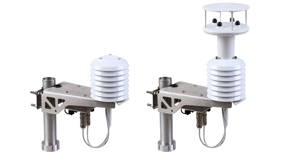
MetConnect THP
Temperature, humidity and pressure. Family image: THP at left; MetConnect One at right.
View instrument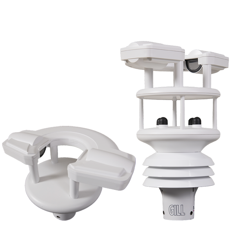
TruMet PW100
Optical rainfall measurement. Shown with the separate GMX603 integrated option.
View instrumentsPlanning a measurement system?
Tell us what you need to measure, where the system will operate, and what record you need.