

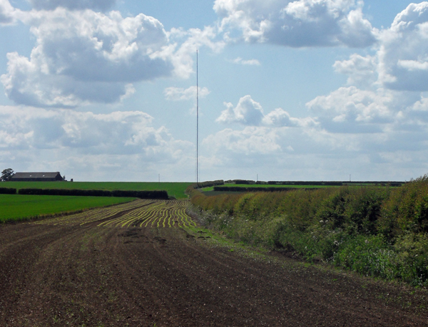
WIND RESOURCE MONITORING
Measure the Wind.
Reduce the Uncertainty.
Wind resource monitoring systems engineered across measurement geometry, instrumentation, data acquisition, communications and project review.
- Wind speed
- 8.42 m/s
- Direction
- 247°
- Availability
- 98.7%
- Data qualification
- Illustrative values · interface sample
The measurement system starts with the engineering question.
Site conditions, campaign objective, measurement geometry and record requirements define one connected system.
- Site
- Terrain, obstructions and access shape placement.
- Objective
- The decision defines the measurement role.
- Geometry
- Levels, booms and orientation establish the method.
- Record
- Timing, transfer and review define the evidence path.
Choose the architecture before choosing the instrument.
- WRAWind resource assessment
- PPMPower performance
- OMOperational monitoring
- RMResearch meteorology
The invisible made measurable.
One chain. Six inspectable roles.
The complete measurement system remains visible while the selected subsystem gains emphasis.
Site conditions establish what must be measured and where.
- 01Wind and terrain
Site conditions establish what must be measured and where.
- 02Mast geometry
Measurement levels and boom orientations establish the physical method.
- 03Sensor roles
Each instrument is selected for a defined parameter and measurement level.
- 04Data acquisition
The logger converts instrument signals into a time-stamped local record.
- 05Communications
Transfer routes expose availability, delay and system state.
- 06Project review
Traceable data and documentation support the engineering decision.
The Mast Behind the Measurement.
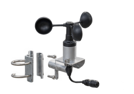 AnemometerWind speedA100LM/PC3Wind-speed measurement for a defined mast level and campaign geometry.View Product →
03
AnemometerWind speedA100LM/PC3Wind-speed measurement for a defined mast level and campaign geometry.View Product →
03
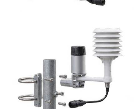 Supporting meteorologyEnvironmental contextMetConnect THPSupporting atmospheric measurements placed alongside the wind measurement geometry.View Product →
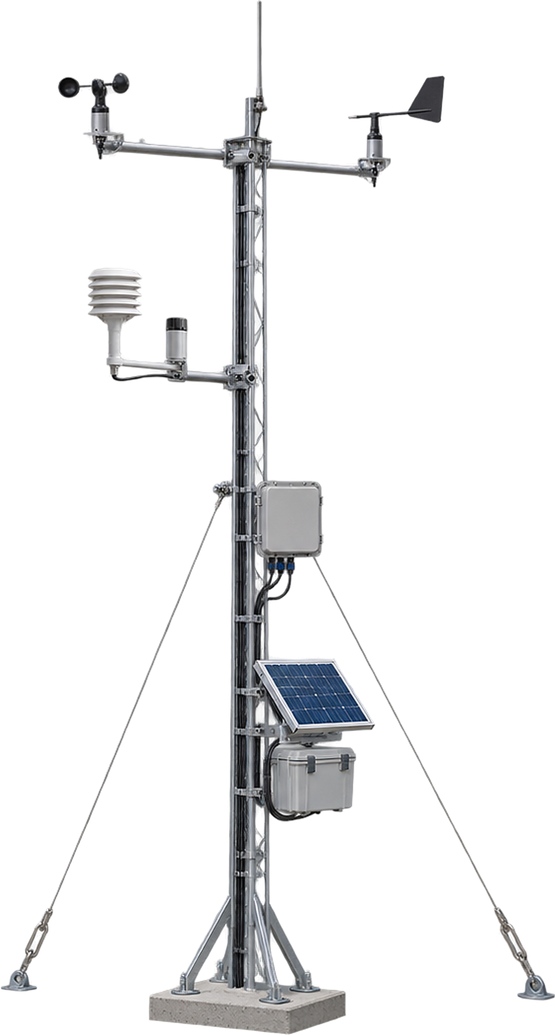
Explore the six core components that work together across wind sensing, supporting meteorology, data acquisition, power and communication.
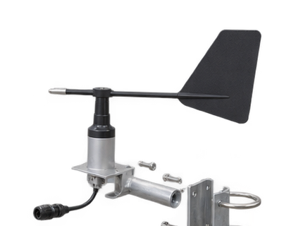 Wind vaneDirectionFirst Class TMRWind-direction measurement aligned to the approved boom orientation and campaign geometry.View Product →
04
Wind vaneDirectionFirst Class TMRWind-direction measurement aligned to the approved boom orientation and campaign geometry.View Product →
04
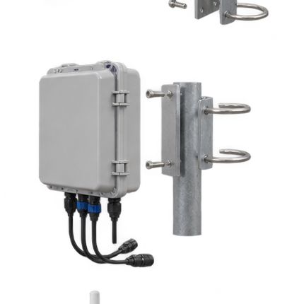 Data loggerAcquisitionRE-42ACollects measurement inputs into the time-stamped field data record.View Product →
How RTPL Delivers.
Four controlled stages connect the measurement requirement to commissioning, documentation and support.
- 01Requirement
Define
Confirm the decision, site, timing, operating constraints and review needs.
- 02System design
Engineer
Resolve levels, instruments, interfaces, power, communication and the record plan.
- 03Delivery
Integrate
Align supply boundaries, configuration, installation inputs and project records.
- 04Handover
Commission & Support
Commission and hand over documentation, with review and support where consistent with the agreed scope.
RTPL Projects
Begin with the measurement requirement.
Planning a Wind Measurement Campaign?
Tell our engineering team your site conditions, target measurement heights and project requirements.