
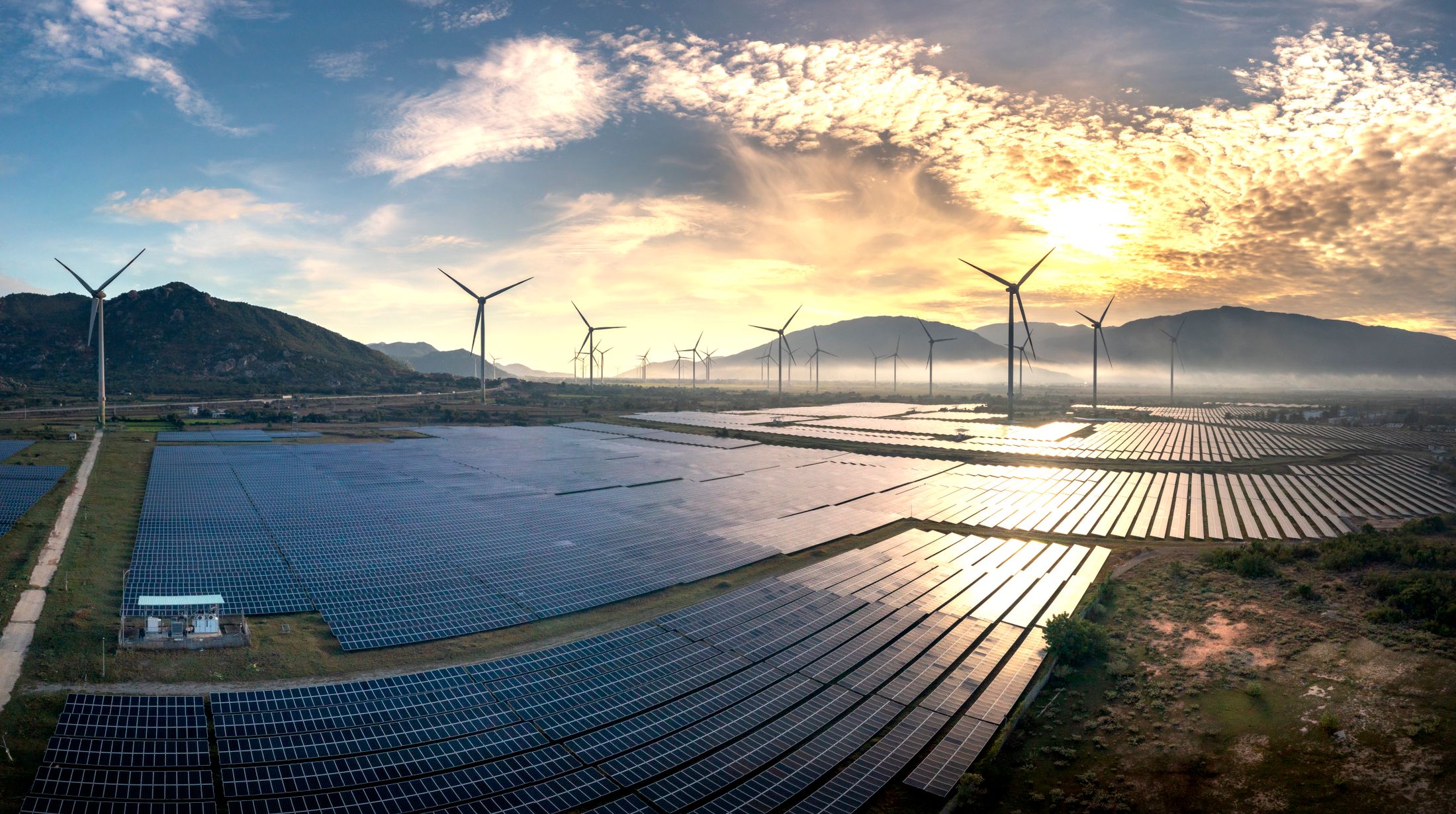
Renewable Energy
Wind and solar measurement systems for site assessment and performance monitoring.
Explore Measurement ApplicationsThe resource is natural. The measurement must be deliberate.
Wind and sunlight vary with place, environment and time. Useful observations begin with the decision they need to support.
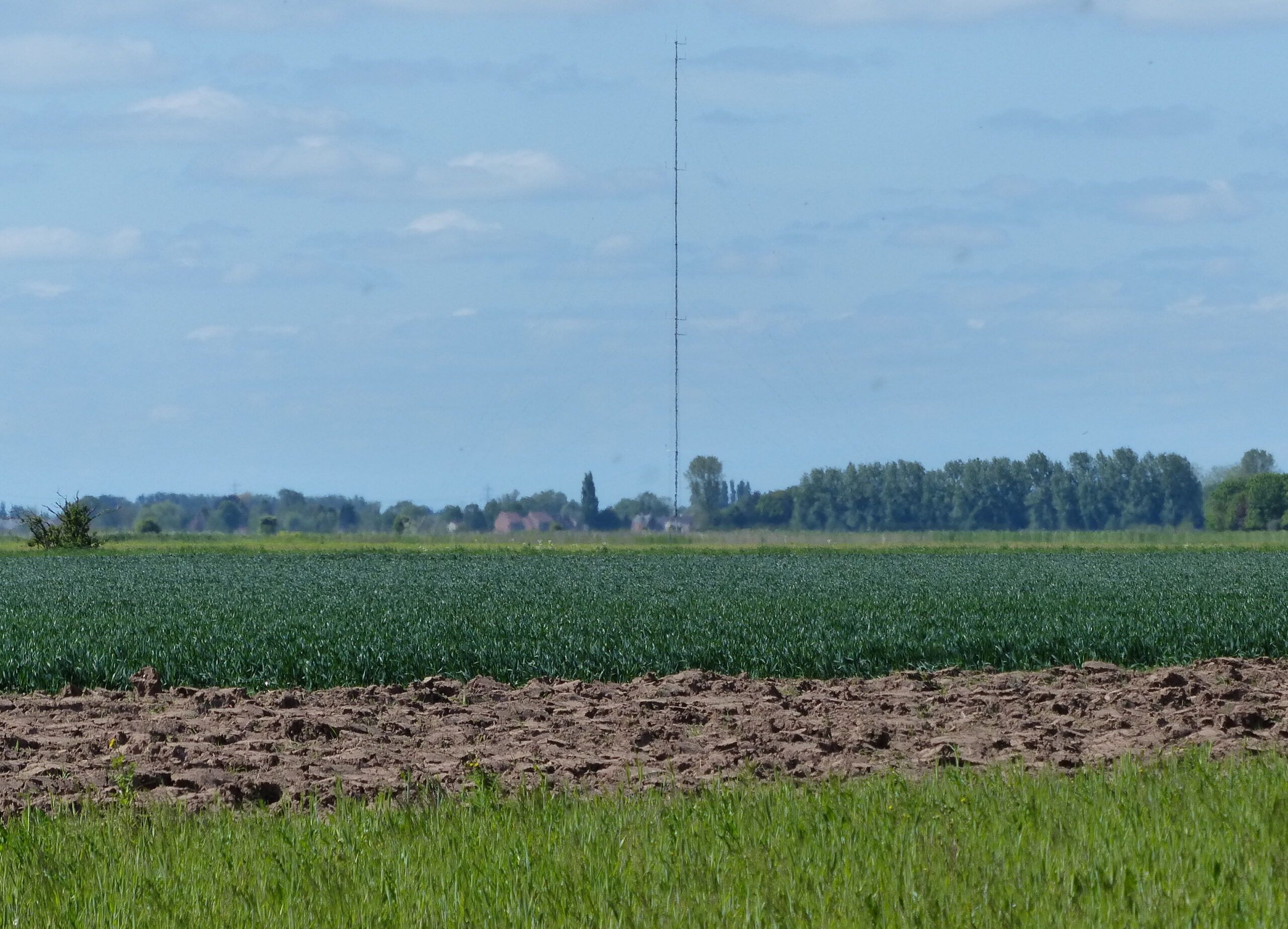
Observe the site you need to understand.
- Resource conditions
- Terrain, sky view and local weather shape what an instrument observes.
- Placement
- Height, orientation and nearby obstructions define the measurement context.
- Duration
- A useful campaign captures variation relevant to the study, beyond a single day.
- Data quality
- Calibration records, field checks and documented gaps make a record reviewable.
Different resources. One need for reliable observations.
Follow the measurement pathway that fits your resource and project.
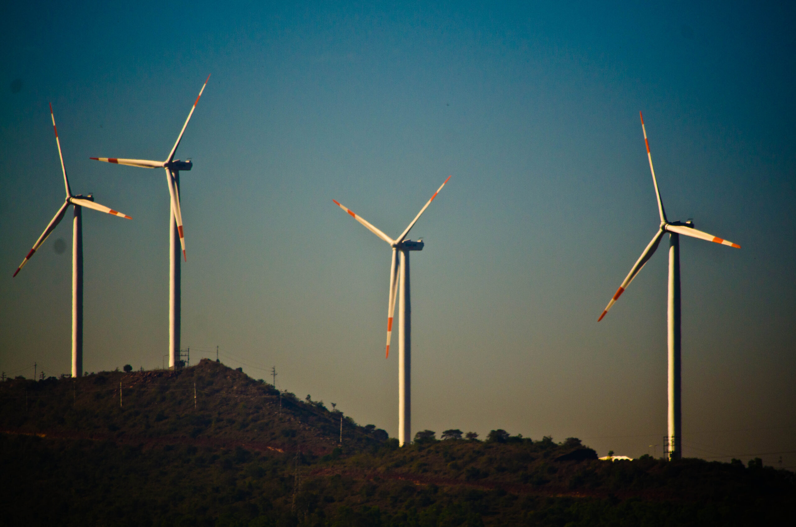
Wind Resource
Assessment & Monitoring
Understand airflow at the site and across the measured height range.
- Wind speed & direction
- Vertical profile & site exposure
- Measurement configuration
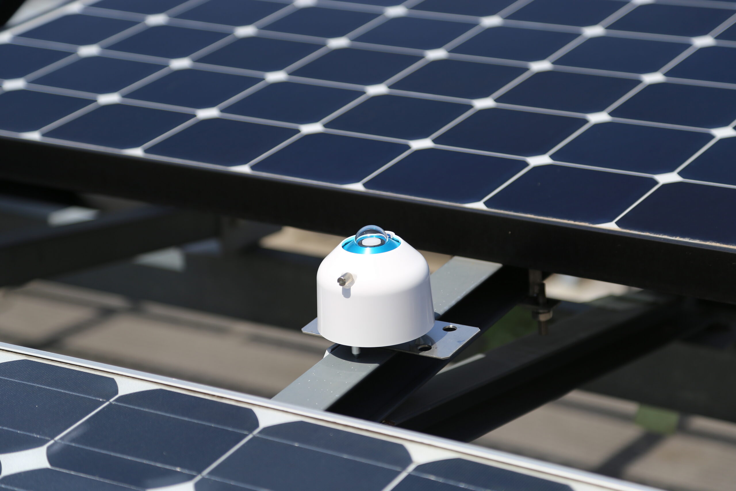
Solar Resource
Monitoring
Understand incoming radiation and the surface receiving it.
- GHI · DNI · DHI
- Horizontal & array planes
- Environmental conditions
The question changes as a project develops.
Define the observations around the decision, then protect the continuity of the record.
- 01
Site Assessment
Is this a site to investigate further?
- Wind
- Characterise exposure and local airflow; define representative measurement positions.
- Solar
- Observe the radiation components relevant to the project and assess sky obstructions.
- Record
- Document site context, observation periods and gaps before comparing options.
- 02
Detailed Measurement
What does the site record establish?
- Wind
- Resolve speed, direction and vertical context with a defined sensor and mounting plan.
- Solar
- Specify GHI and, where needed, tracked DNI, shaded DHI or the receiving plane.
- Record
- Keep timestamps, calibration references, configuration and quality checks traceable.
- 03
Plant Operation
Under what conditions did the plant operate?
- Wind
- Record relevant atmospheric conditions alongside the operating asset's own records.
- Solar
- Match irradiance to the array plane; add module temperature or soiling context as needed.
- Record
- Maintain aligned records and service history so interruptions can be understood.
Measurement requirements evolve with the project. Instrument selection, campaign duration and delivery scope are agreed for each site.
Measure what the decision requires.
Explore the parameter, its physical context and the observation it supports.
Compare simultaneous observations at defined heights. Actual positions and mounting are site-specific.
Wind speed m/s
Observe the horizontal speed at each selected position. Sensor exposure and the sampling and averaging plan matter.
Wind direction °
Record the direction the wind comes from, referenced to true north. Document alignment and mounting effects.
Height & vertical context
Compare simultaneous speed and direction at known heights to understand changes through the measured range. The mast does not observe the entire atmosphere.
Temperature & pressure
Supporting observations can inform air-density context where the study requires it. Measurement heights and processing assumptions belong in the record.
GHI = DHI + DNI × cos(θz), where θz is the solar zenith angle.
GHI Global horizontal irradiance
Direct beam projected onto a horizontal plane plus diffuse sky radiation. Measured with a level, unshaded pyranometer.
DNI Direct normal irradiance
The direct solar beam received on an aperture perpendicular to the Sun's direction. A pyrheliometer follows the Sun on a tracker.
DHI Diffuse horizontal irradiance
Diffuse sky radiation on a horizontal plane. Appropriate tracking shade excludes the direct solar disc from the pyranometer.
POA Plane-of-array irradiance
Radiation incident on the module plane, including beam, sky-diffuse and ground-reflected contributions. Match the sensor tilt and azimuth to the array.
Environmental context
Soiling compares exposed and clean references. Albedo is reflected divided by incident shortwave irradiance. Air and module temperatures describe distinct thermal conditions. Add these when the project needs them.
A reading is only the beginning.
A useful record preserves what was measured, how it was recorded and what happened along the way.
Sensors
Define the parameter, sensor identity, location and exposure.
Identity + calibrationData Acquisition
Align channels, units, timestamps and recording intervals.
Configuration + timePower &
CommunicationsPlan energy availability, local retention and the agreed retrieval route.
Continuity + accessData Quality
& ContextReview flags, gaps, maintenance and changes in configuration.
Checks + field historyReviewable
RecordKeep the observations and their supporting documentation together.
Completeness + traceability
A timestamp alone cannot explain a sensor change or a missed interval. Keep the channel definitions, instrument references and service history with the data.
Architecture is illustrative. Power, communications and data delivery are specified for the agreed project scope.
The instruments behind the record.
Explore selected RTPL-listed instruments by the role they play in a measurement system.
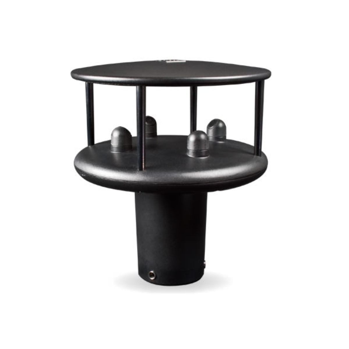
WindSonic
Gill InstrumentsUltrasonic observation of horizontal wind speed and direction.
View instrument
MS-80SH
EKO InstrumentsSolar irradiance observation on a defined receiving plane.
View instrument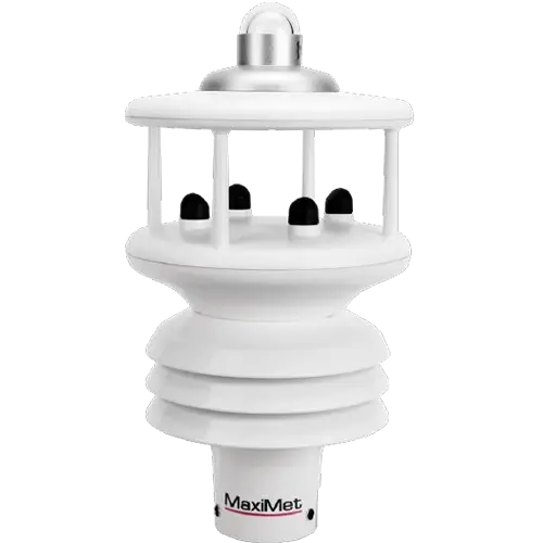
MaxiMet
Gill InstrumentsSupporting weather observations, with parameters defined by model.
View instrument
RE-42A
RTPL catalogueMultichannel data acquisition for configured sensor inputs.
View instrumentCatalogue references, not a preconfigured package. Suitability, model, interfaces and availability are confirmed against the requirement.
Planning a measurement system?
Tell us what you need to measure, where the system will operate, and what record you need.