
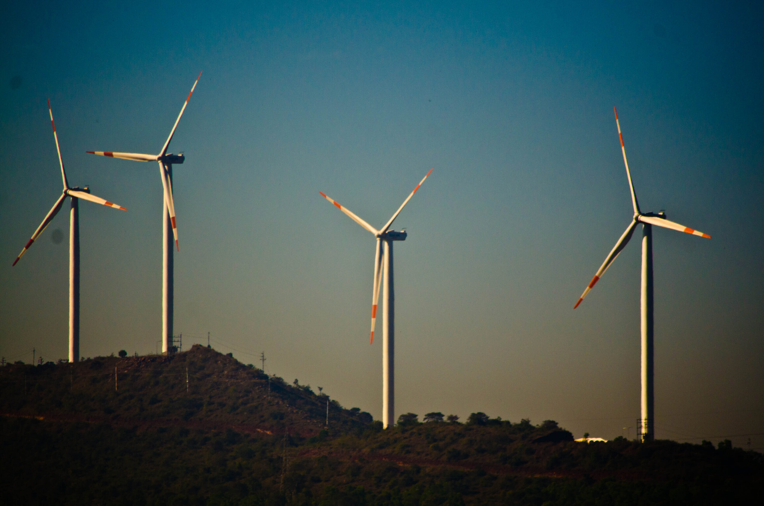
Wind Resource Monitoring
Measure the wind,
reduce the uncertainty.
Site-specific wind measurements reveal the conditions behind better-informed project decisions.
A promising landscape,
but how much wind?
A wind map helps identify promising locations. Measurements at the actual site reveal how the wind behaves before those possibilities become project decisions.
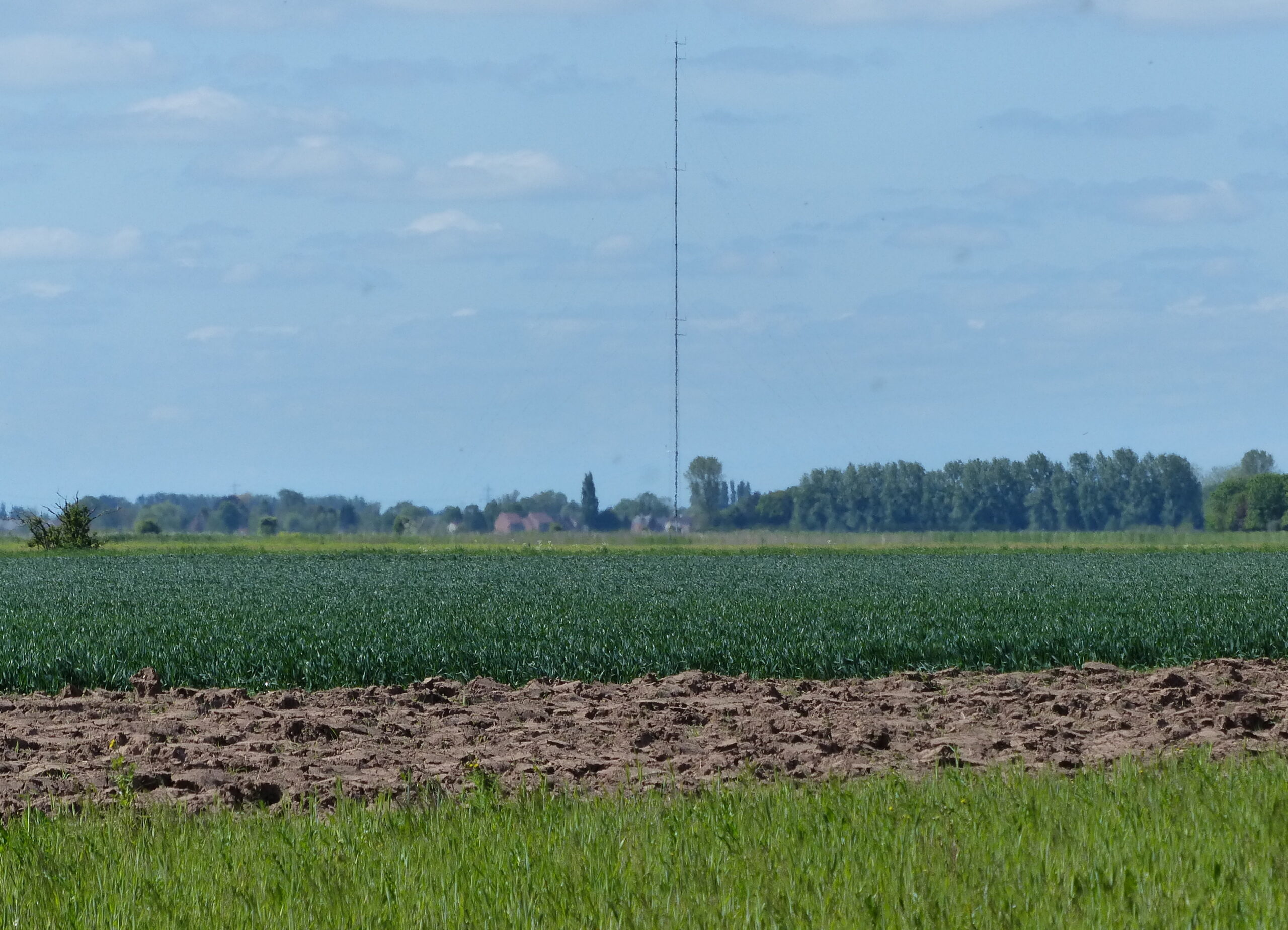
Where will you measure?
Hills, trees, buildings and surface roughness alter the flow. The measurement position must represent the area you want to understand.
What changes over time?
A windy afternoon is not a wind resource. Speed and direction vary through the day and across seasons; the campaign must capture useful variation.
Can you trust the record?
Calibration, clear sensor exposure and documented checks make observations reviewable. Quality-controlled records support the assessment—not just a collection of readings.
Four wind energy applications.
The question comes first. Choose the measurement approach around the decision your wind-energy project needs to make.

Wind resource assessment
Is the site worth developing?
Measure site wind before development. A reviewed campaign record supports long-term assessment, flow modelling and energy-yield studies.

Power performance measurements
How does the turbine perform?
Compare electrical output with wind measured at the same time. A defined test method connects turbine performance, measurement geometry and uncertainty.

Wind park monitoring / SCADA
What is happening across the park?
Read atmospheric conditions alongside operational records. The monitoring and communications plan follows the operating asset’s requirements.

Wind measurement in cold climate
Will the measurements remain useful?
Plan for icing, sensor heating and field power together. Exposure, instrument selection and maintenance all affect measurement continuity.
One site. Wind at three levels.
Wind conditions can change with height. Measuring at different heights helps engineers understand the wind profile at a site.
Observe the upper part of the measured range.
Compare conditions between the upper and lower positions.
Understand conditions closer to the surface.
Compare the same wind,
at the same time.
- Does the speed change?
- A difference in wind speed between heights is called wind shear. Simultaneous observations show how that difference changes over time.
- Does the direction change?
- Wind can arrive from different directions at different heights. This change in direction is called veer.
- Why add a backup?
- A second speed sensor near the upper position provides a comparison and helps identify a possible sensor fault.
Higher does not always mean faster. Terrain and atmospheric conditions can produce different profiles.
The actual heights, sensor counts and mounting positions are selected for each campaign.
The structure behind
every observation.
A wind campaign brings together a tall mast, carefully exposed instruments and dependable recording. Explore the structure, then look closer at the measurement roles.


Explore the measurement system.
Select an instrument on the mast, or choose from the list, to understand its role in the wind-monitoring installation.
- Look closer. Hover, focus or tap a mounted point for a genuine product photograph and its measurement role.
- Keep the detail. Select an instrument to hold its information while you explore.
What completes the field installation?
Measurement heights, exposure, orientation, logging, field power and communications are engineered around the campaign. The arrangement illustrates equipment roles; final mounting and interfaces follow the approved site design.
The invisible made measurable.
One chain. Six inspectable roles.
Site conditions establish what must be measured and where.
- 01Wind and terrain
Site conditions establish what must be measured and where.
- 02Mast geometry
Measurement levels and boom orientations establish the physical method.
- 03Sensor roles
Each instrument is selected for a defined parameter and measurement level.
- 04Data acquisition
The logger converts instrument signals into a time-stamped local record.
- 05Communications
Transfer routes expose availability, delay and system state.
- 06Project review
Traceable data and documentation support the engineering decision.
How RTPL Delivers.
Four controlled stages connect the measurement requirement to commissioning, documentation and support.
- 01Requirement
Define
Confirm the decision, site, timing, operating constraints and review needs.
- 02System design
Engineer
Resolve levels, instruments, interfaces, power, communication and the record plan.
- 03Delivery
Integrate
Align supply boundaries, configuration, installation inputs and project records.
- 04Handover
Commission & Support
Commission and hand over documentation, with review and support where consistent with the agreed scope.
Planning a wind resource assessment?
Tell us about your site, the decision you need to make, and the measurement record you need.